aerniosGet in touch

Detect problems earlier.
Prioritize action.
Keep society running.

Aerial data for the infrastructure and landscapes we depend on. Collected by a distributed network of autonomous drones.

Explore applications
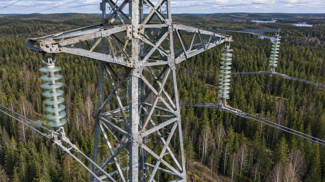
Illustrative aerial view of a transmission tower above a forest

The world changes
between inspections.

Vegetation grows. Equipment wears. A storm changes everything overnight.

When the last survey is months old, it is harder to know what needs attention now.

A more recent view.
A better next step.

Repeat surveys help you understand what changed, where to look, and what to do next.

Catch changes earlier.

Compare observations over time. Follow vegetation growth, changes in terrain, and the condition of exposed assets.

Send crews where they matter.

Locate areas that need a closer look. Give teams the imagery and context to plan their visit before they leave.

Keep people out of harm’s way.

Survey from above before sending people into damaged sites, difficult terrain, or work at height.

Make each survey go further.

Use the same aerial data across inspection, maintenance, and planning. Build a record you can return to.

From your area
to your data.

01

Plan.

Define the area, the information you need, and when you need it.
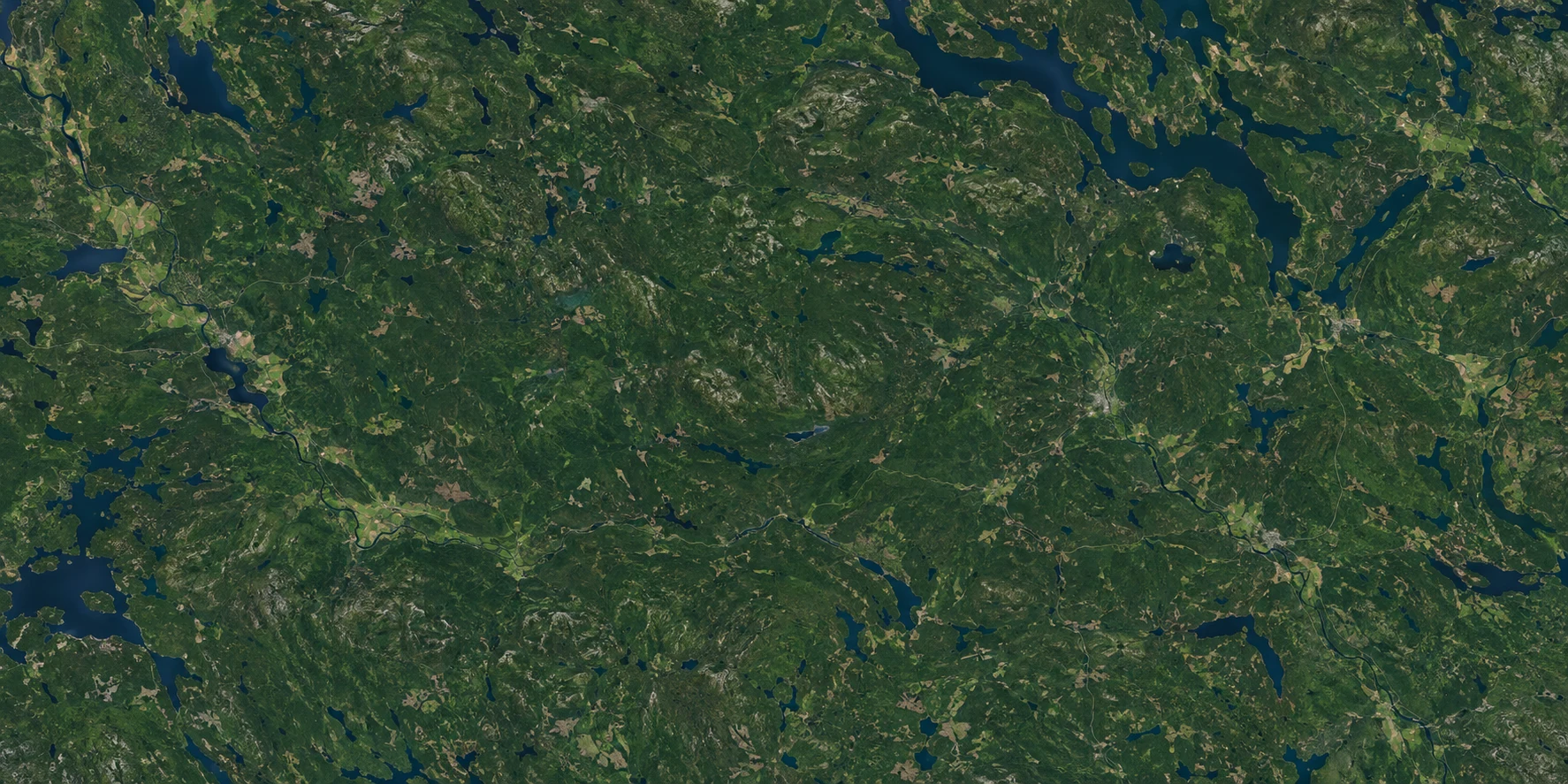
Illustrative aerial view of a region
02

Fly.

A drone launches autonomously from a nearby hub to survey your area.
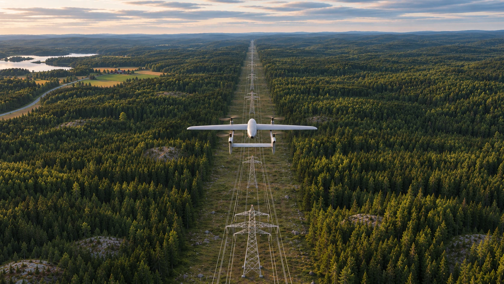
Illustrative rear view of an Aernios drone surveying directly above and along a powerline corridor
03

Analyse.

Turn survey data into a clearer view of the area and the changes that matter.
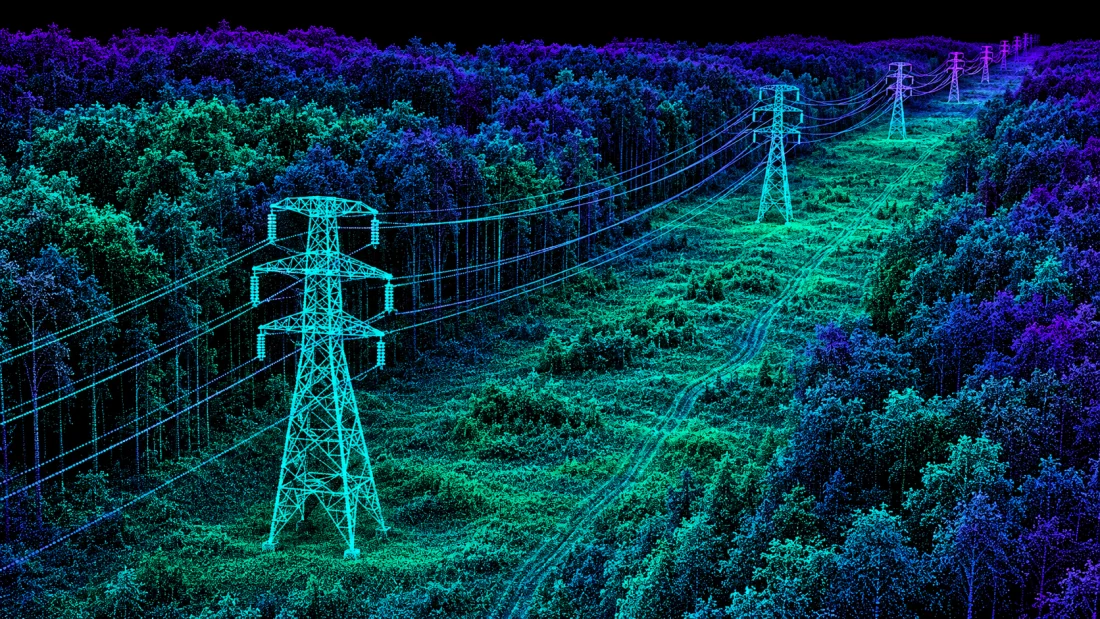
Illustrative LiDAR view of a power corridor
04

Report.

Receive the imagery and findings you need to plan your next action.
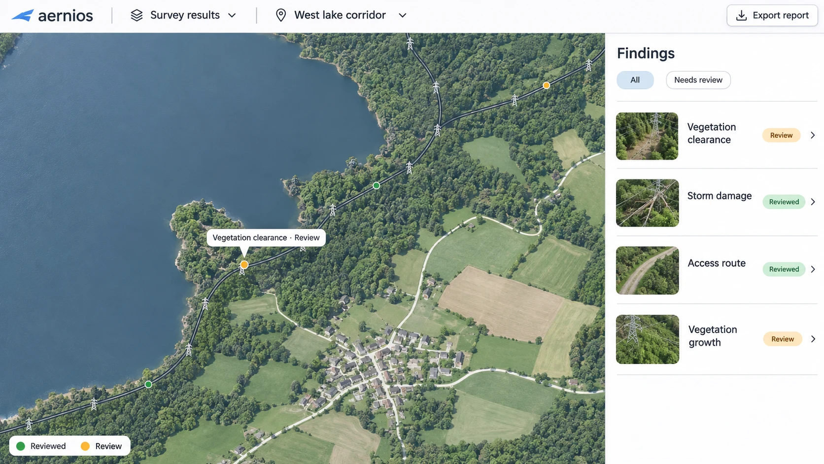
Illustrative Aernios inspection dashboard with a lakeside corridor map and a findings panel

Closer to the mission.

Local hubs reduce the need to bring an aircraft to every survey from scratch.

Built to return.

Repeat coverage gives each new observation a history to compare against.

Room to grow.

Additional hubs can extend access to more assets and more remote areas.

Where a clearer
view matters.

Illustrative aerial image of a transmission tower and surrounding forest
Illustrative imagery

Keep the network in view.

Inspect long corridors, assess storm damage, and understand vegetation near the line. Give maintenance teams a clearer place to start.
  • Locate visible damage after a storm.
  • Measure vegetation clearance with LiDAR.
  • Review heat patterns that need investigation.
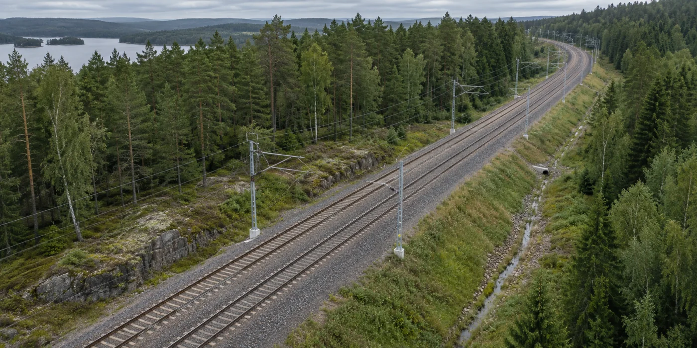
Illustrative aerial view of an electrified railway curving through Nordic forest
Illustrative imagery

See what changed along the track.

Follow the corridor beyond the rails. Survey vegetation, embankments, and surrounding terrain to support inspection planning.
  • Identify vegetation encroachment.
  • Compare terrain and corridor conditions.
  • Document areas affected by severe weather.
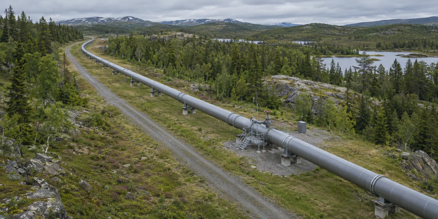
Illustrative aerial view of a pipeline and access road through forest and rocky terrain
Illustrative imagery

Follow the route. Find the change.

Survey the land around a pipeline to identify surface changes and activity that deserve a closer look.
  • Review ground movement and erosion.
  • Locate encroachment along the route.
  • Document access and surface conditions.
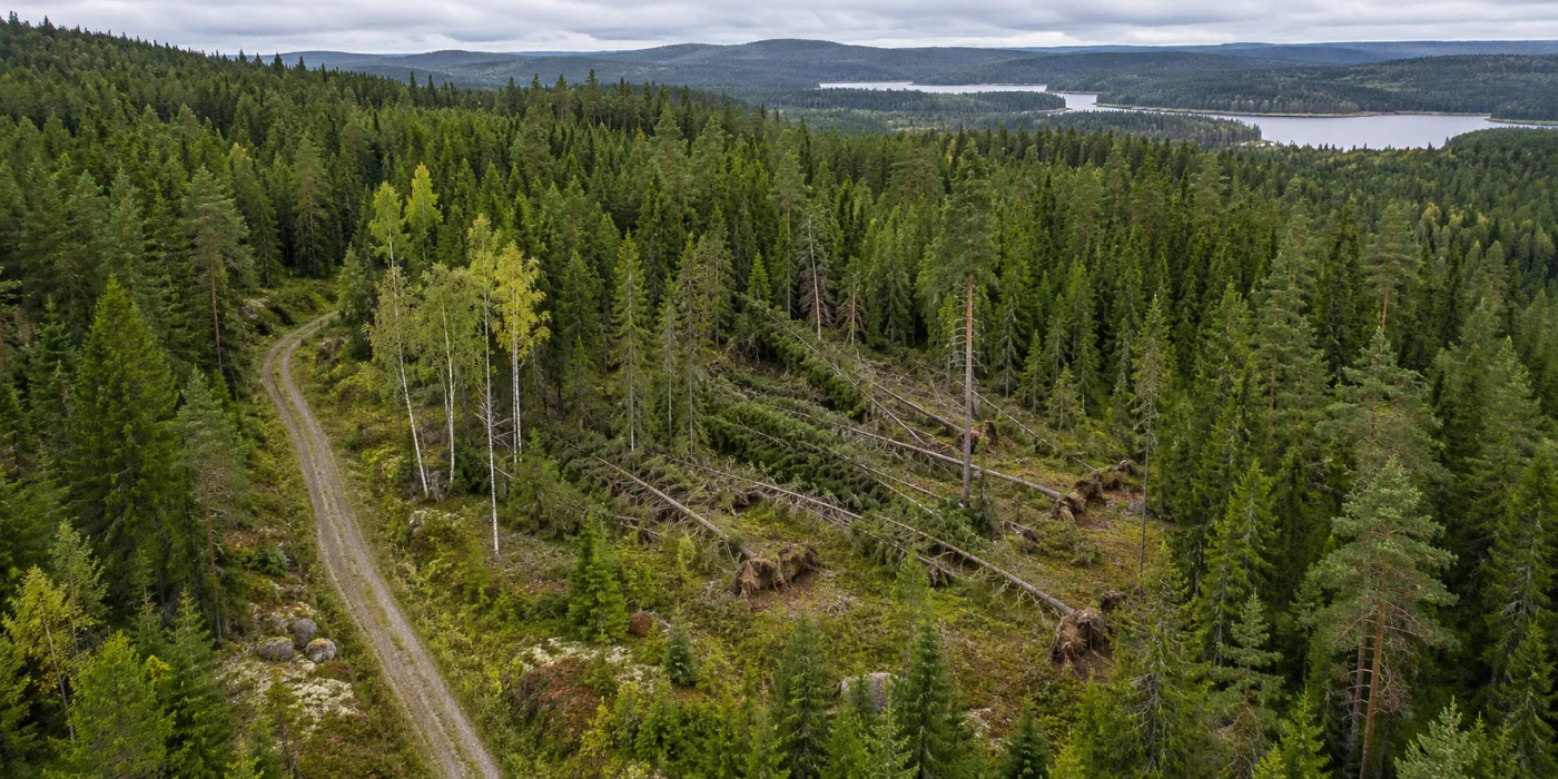
Illustrative aerial view of a forest canopy and a patch of windthrown trees
Illustrative imagery

Understand the forest in layers.

See canopy and terrain together. Use repeat surveys to follow change and plan work across large or hard-to-reach areas.
  • Assess windthrow and storm damage.
  • Measure canopy structure and terrain.
  • Track changes across seasons.
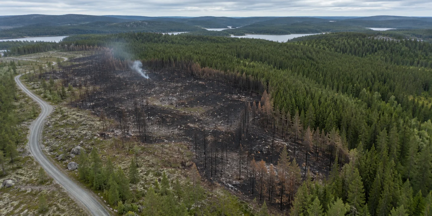
Illustrative aerial view of a burned forest area beside healthy woodland
Illustrative imagery

See where attention is needed.

We are exploring how aerial imagery and thermal surveys could support wildfire teams before and after an incident.
  • Review vegetation and access routes.
  • Investigate residual heat where flights are safe.
  • Map burn extent and landscape change.
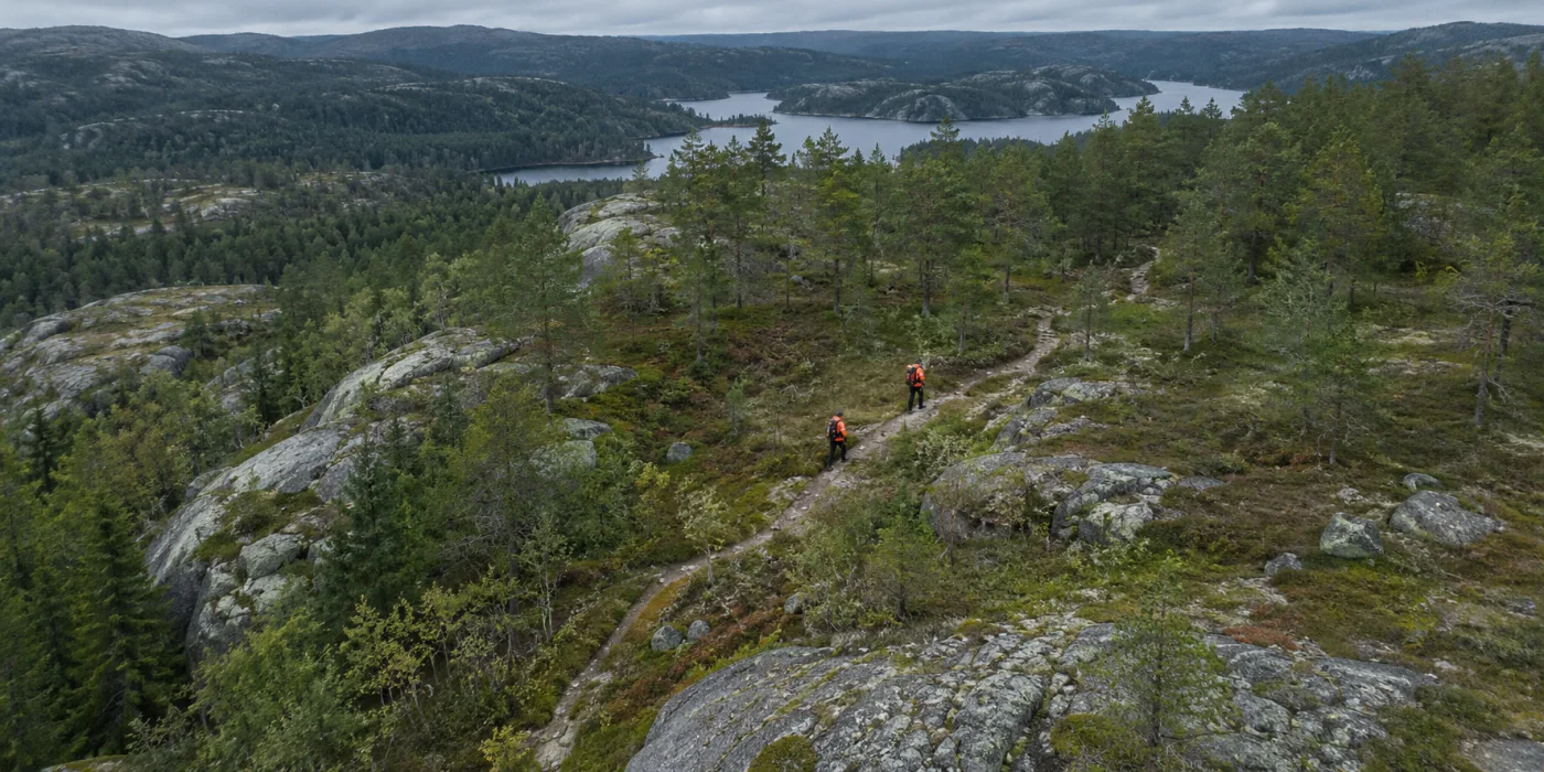
Illustrative aerial view of two rescue team members on a trail through rocky woodland
Illustrative imagery

Give search teams another view.

We are exploring how aerial surveys could help search teams cover difficult terrain and investigate potential leads.

  • Review terrain and possible access routes.
  • Use thermal observations to guide a closer look.
  • Share the location of areas of interest.

The right data
for the question.

Explore A-1
Illustrative colour imagery of a transmission tower

RGB

See visible condition. Review structures, surroundings, and changes on the ground.
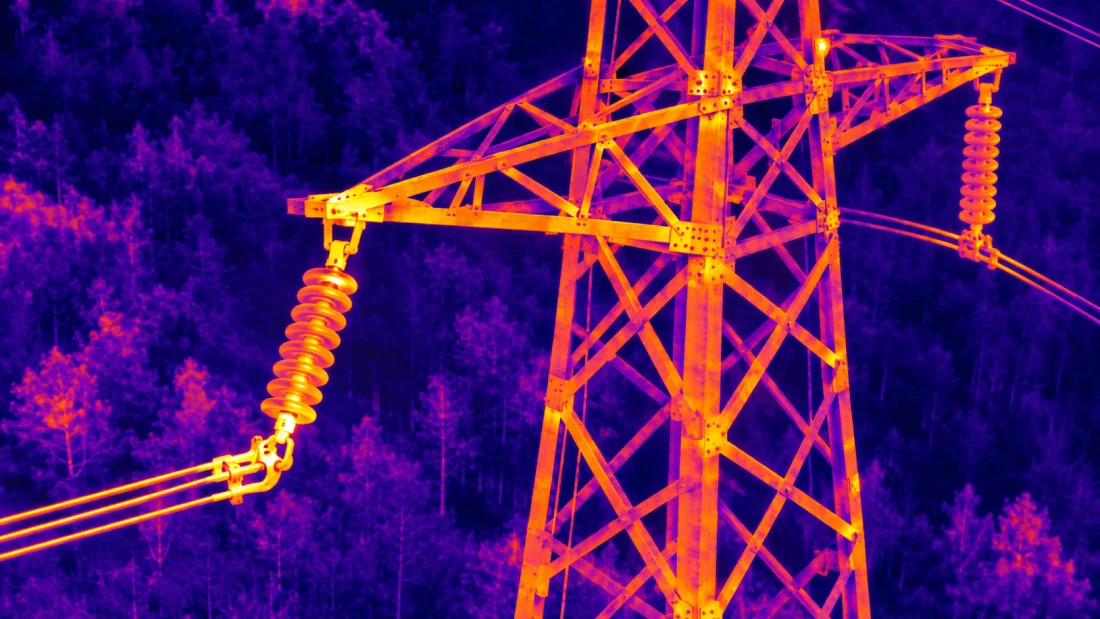
Illustrative thermal view of a transmission tower

Thermal

See heat patterns. Identify areas that warrant closer investigation.

Illustrative LiDAR point cloud of a power corridor and vegetation

LiDAR

Measure in 3D. Understand terrain, vegetation, and the space around your assets.

What do you need
to see?

Tell us about your assets, your area, and the decisions better aerial data could help you make.