Autonomous drone network for World data collection
A distributed network of autonomous drones to make aerial data more accessible, frequent, and useful.
Explore the aircraft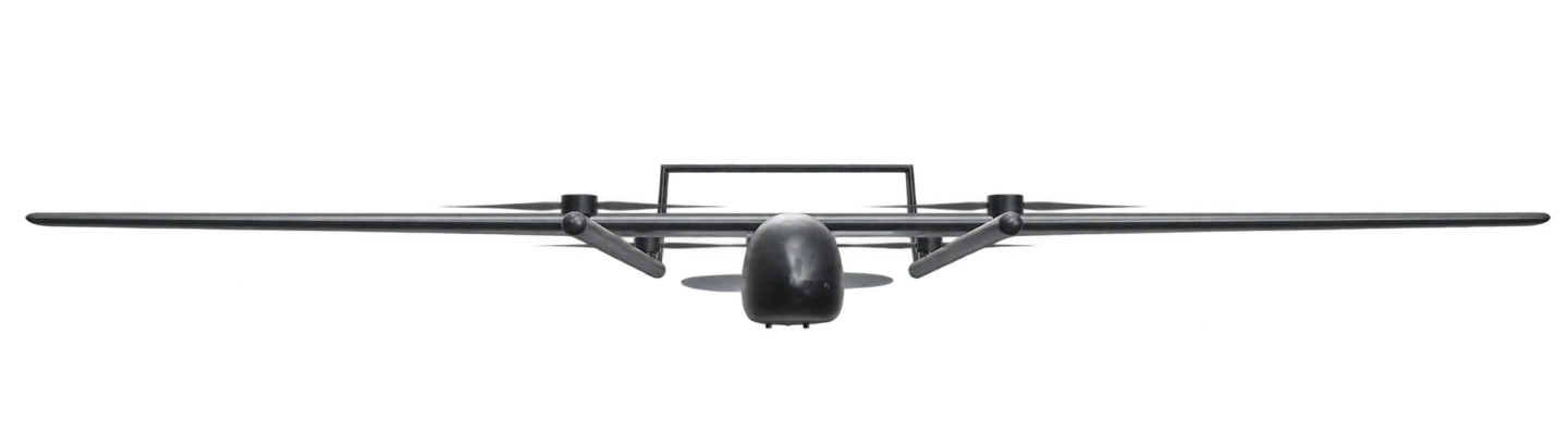
A-1
- Flight range
- 150 km
- Flight time
- 140 min
RGB
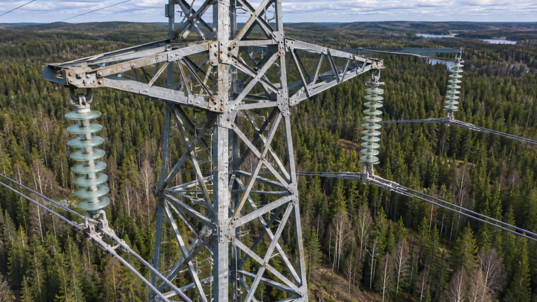
Colour imagery for mapping and visual inspection.
Thermal
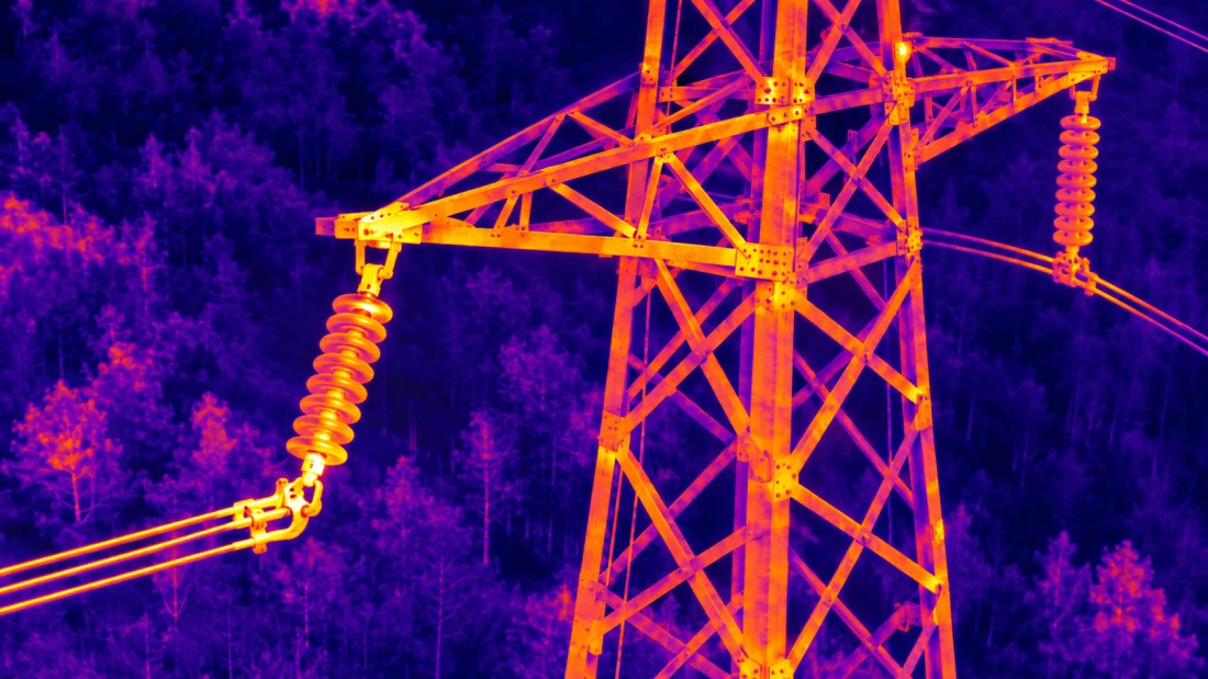
Infrared imagery to identify heat patterns.
LiDAR
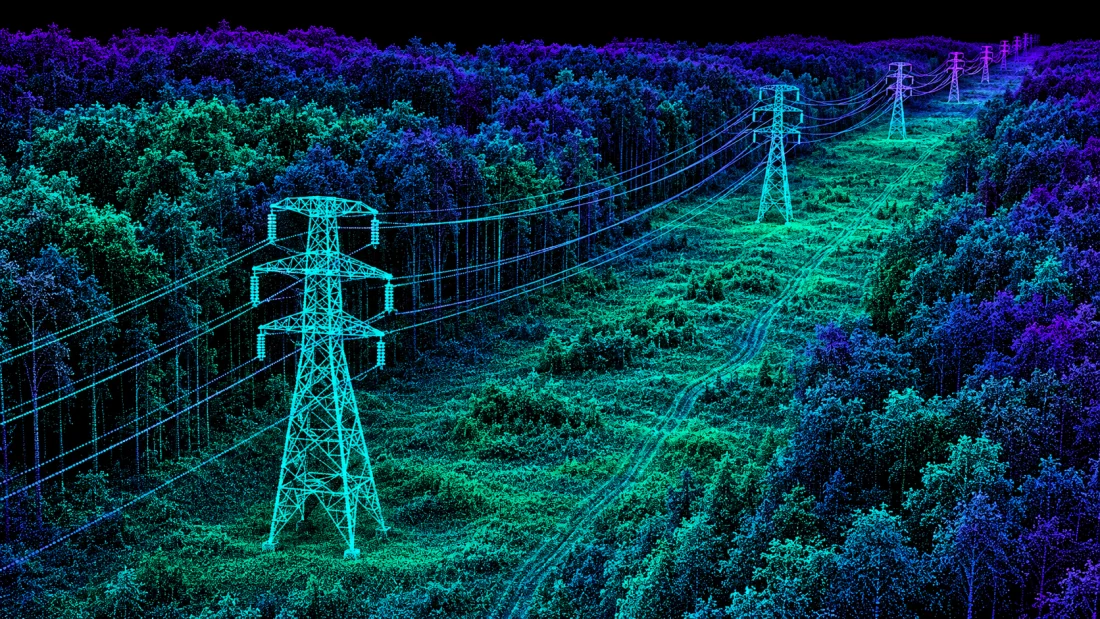
3D point clouds for measuring terrain and structures.
One hub. A growing network.
How it works
Select a region
Mark the area you want to survey.
Drones deploy from a nearby hub
The aircraft flies the survey and collects the requested data.
Get your data
Receive the imagery or point cloud from your survey.
Get in touch
Interested in deployment, integration, or early access?